Added a few new lines to our map this week.
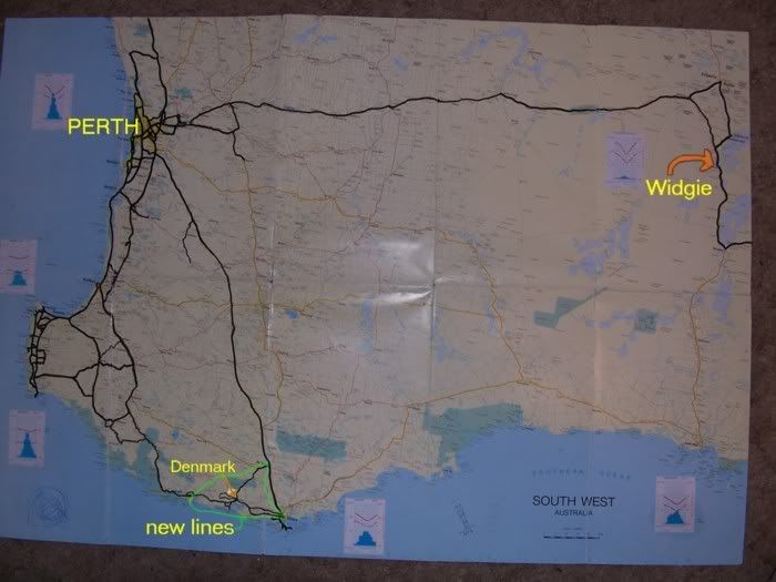
Every time Cathy and I go cruising in the FC we mark on a map where we've been.
Went South this week and covered some new roads we haven't done before
This is where we went
PS IT'S NOWHERE NEAR WIDGIEMOOLTHA


the area marked in green
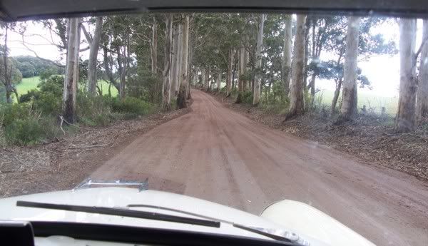
I just wish they would start marking gravel roads more clearly on the maps

It started out as one of the local main roads
ANOTHER 1000km + on the odometer
We also have the North West Map....for our trips to Monkey Mia and Coral Bay (still thinking about the drive to Broome. Cathy keeps suggesting flying would be quicker...(but how boring would that be ?))
And the
Australia Map from the CRUISE to Jindabyne and Sydney
For the cruise to Mt Gambier we are considering......
option A ...driving the Albany, Esperance, Norseman route


just so we can colour in another couple of lines.
OR option B....Pop into Karrratha (just 1535km north)to visit some friends who have just moved there. Then take the scenic coast road North, Turn right at Darwin,visit Ayers Rock ( I've always wanted to visit Ayers Rock ) Then cruise to Mt Gambier via The Barrossa Valley.....sounds easy


